Best GPS mapping for Texas lakes
There's nothing quite like the feeling of launching your boat onto a vast Texas lake, the morning mist still clinging to the water, and the promise of a great fishing day ahead. But let's be real, that excitement can quickly turn to frustration when you're trying to navigate unfamiliar waters, constantly wondering if you're over that hidden hump or drifting too far from that perfect submerged creek channel. Trying to find those elusive fishing hot spots without knowing what lies beneath the surface is like fishing blindfolded. This guide is all about equipping you with the knowledge to choose and utilize the best GPS mapping for Texas lakes, ensuring you spend less time guessing and more time catching.
Why Detailed GPS Mapping is Your Ultimate Fishing Advantage on Texas Lakes
Imagine launching your boat on a massive reservoir like Lake Fork or Sam Rayburn. These aren't just puddles; they're vast, complex ecosystems with endless coves, submerged timber, creek channels, and drastic depth changes. Without a reliable map, you're essentially just wandering. It's not just about getting from point A to point B; it's about understanding the underwater landscape that holds the fish.
Understanding the Underwater World
Texas lakes, especially our reservoirs, are often man-made, which means they're full of old roadbeds, submerged bridges, standing timber, and creek channels that were once dry land. Fish, particularly popular species like largemouth bass, crappie, and catfish, are structure-oriented. They gravitate towards these underwater features for ambush points, shelter, and feeding grounds. Without detailed GPS mapping, these critical structures remain invisible. You might cruise right over a perfectly shaped rock pile holding a school of bass, completely unaware. Your mapping system helps you visualize these hidden sanctuaries, turning guesswork into informed decisions. It allows you to anticipate where the fish might be, rather than just hoping for a lucky cast.
Navigating Safely and Efficiently
Beyond finding fish, safety is paramount. Texas lakes can be riddled with hazards, especially during times of lower water levels. Submerged stumps, shallow rock reefs, and rapidly changing depths can spell disaster for your lower unit or even put you in a dangerous situation. A high-quality GPS map with accurate navigation data can alert you to these dangers long before you encounter them. Think about navigating a busy area like a main lake point on a weekend: knowing exactly where you are relative to other boats and marked hazards gives you peace of mind. Furthermore, efficiency means spending less time searching for that secret spot you marked last year or finding your way back to the ramp in the dark. A good mapping system stores your waypoints and tracks, making return trips effortless. For instance, if you had an incredible day catching Texas Largemouth Bass Fishing Guide on a specific point, your GPS mapping ensures you can return there with precision.
Adapting to Changing Water Levels
One of the biggest challenges on many Texas lakes is fluctuating water levels. What was a deep channel last year might be exposed timber or dangerously shallow water this year. While no map can predict future water levels, good GPS mapping provides the foundational contours. When you combine this with real-time knowledge of current lake levels, you can mentally (or digitally, with some advanced units) adjust the map to better reflect what's currently underwater. This adaptability is crucial for finding new patterns as fish relocate due to changing conditions. Imagine trying to fish a new spot on Lake Texoma Fishing Guide without understanding how the current depth corresponds to your map – it would be incredibly frustrating!
Essential Features to Look for in Top-Tier GPS Mapping for Texas Anglers
When you're investing in GPS mapping for your Texas fishing adventures, you want features that go beyond basic navigation. We're talking about tools that actively enhance your ability to find and catch fish, and keep you safe on the water.
High-Definition Contour Lines and Shaded Depth Ranges
This is, hands down, the most important feature for serious anglers. You're looking for mapping that provides 1-foot contour lines, not 5-foot or 10-foot increments. The difference is monumental. With 1-foot contours, you can see subtle changes in depth, small humps, minor drop-offs, and slight indentations that hold fish. These tiny details are often overlooked by less detailed maps, yet they can be the key to unlocking a trophy bite. Think about trying to follow a subtle creek channel: with 1-foot contours, you can accurately trace its path and identify those crucial bends or breaks. Many premium maps also offer shaded depth ranges, allowing you to quickly visualize areas within certain depth parameters – for example, highlighting all areas between 10 and 15 feet in a distinct color, which is incredibly useful when targeting Texas Crappie Bag Limits that often hold to specific depths.
Satellite Imagery Overlays and Customizable Waypoints
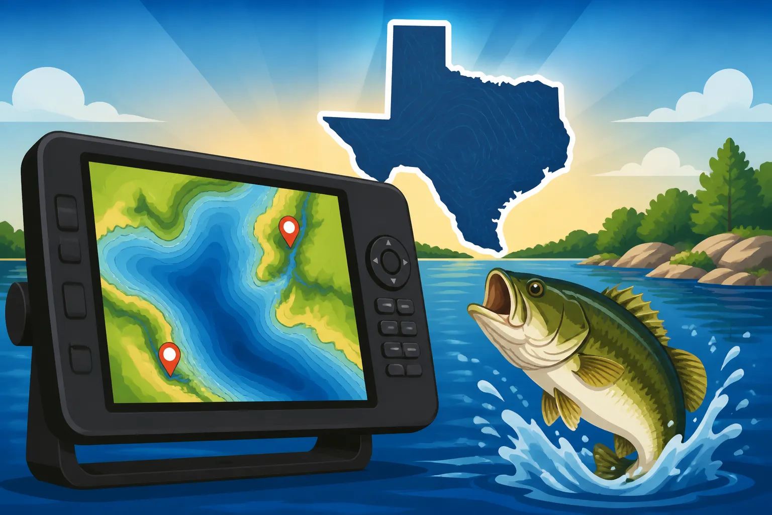
Imagine seeing exactly what the shoreline looks like from above, overlaid with your detailed contour lines. Satellite imagery overlays bring a whole new dimension to your mapping. You can identify boat docks, prominent points, submerged vegetation lines that reach out from the bank, and even visible structure on the shore that might extend underwater. This hybrid view helps you orient yourself and pinpoint features that aren't always clear on a traditional contour map.
Customizable waypoints are your personal breadcrumbs. The ability to drop a precise pin on your screen for a brush pile, a productive stump, a productive weed line, or even a tricky channel marker is invaluable. Even better is the ability to label these waypoints with notes – "Big bass here, spring," or "Crappie tree, 12ft." Many advanced systems allow you to categorize waypoints by color or icon, making it easy to quickly differentiate between a fishing spot, a hazard, or a favorite picnic area. This becomes incredibly useful when you're trying to remember exactly where that winning Texas Largemouth Bass Length Limits came from last season.
Integrated Sonar and Side Imaging Capabilities
While technically separate from pure "mapping," the best GPS mapping systems are seamlessly integrated with your fish finder and sonar. This means your high-definition map appears right alongside your traditional 2D sonar, Down Imaging, or Side Imaging views. You can mark a waypoint directly from your sonar screen to your map, or navigate to a spot on your map while simultaneously scanning the bottom with Side Imaging for submerged timber or baitfish schools. This integration allows you to cross-reference what you see on the map with what you're seeing in real-time beneath and around your boat. It’s like having X-ray vision combined with a detailed blueprint of the underwater terrain. When you're trying to How to Find Bass on a New Lake, this combination is unbeatable for quickly breaking down water and locating productive areas.
Frequent Updates and User-Friendly Interface
Technology evolves, and so do maps. Lakes can change over time due to natural processes or human activity, and map data is constantly refined. Look for systems that offer regular map updates, ensuring you have the most current information available. Some premium services offer subscription-based updates, while others provide periodic downloads.
A user-friendly interface is also critical. You don't want to be fumbling with complex menus when you should be focused on fishing or navigating safely. Look for intuitive controls, easy-to-read displays (especially in bright Texas sunshine), and the ability to customize your screen layout to show the information most important to you. A well-designed interface means less time staring at a screen and more time enjoying your time on the water.
Navigating the Options: Popular GPS Mapping Solutions for Texas Lakes
When it comes to outfitting your boat with the best GPS mapping, you'll find a few major players dominate the market, each with their own proprietary mapping systems and dedicated user bases. It's not just about the unit itself, but the quality of the maps it can display.
Dedicated Marine Electronics Brands
The big names in marine electronics – Garmin, Humminbird, and Lowrance – are where most serious anglers start their search. Each offers a full suite of chartplotters (the units that display your maps and GPS data), often integrated with their fish finder technologies.
-
Garmin: Known for its user-friendly interfaces and robust GPS capabilities, Garmin offers impressive mapping through its LakeVü HD Ultra and BlueChart g3 Vision series. LakeVü HD Ultra is specifically designed for inland lakes, providing incredible detail for many Texas reservoirs, often with 1-foot contours, shaded relief, and satellite imagery. Their Quickdraw Contours feature even allows you to create your own custom maps in real-time as you motor along, which is fantastic for those lesser-mapped spots or when you want even finer detail. Many anglers pick up their Garmin units from Bass Pro Shops or find great deals on specific map cards through Amazon.
-
Humminbird: Humminbird is famous for its Mega Imaging sonar, and their mapping, primarily through LakeMaster charts, is equally impressive. LakeMaster maps often feature "Depth Highlight" (to quickly see productive depth ranges), "Shallow Water Highlight" (for safety), and "Water Level Offset" (to adjust contour lines to current lake levels, a godsend on fluctuating Texas lakes). They also offer CoastMaster for saltwater applications. Humminbird units integrate seamlessly with their mapping, making it a powerful tool for How to Fish a Texas Reservoir in the Heat or any other scenario where precise location is key.
-
Lowrance: Lowrance has a strong reputation for intuitive touch screens and powerful sonar, and their mapping via C-MAP (which they own) is top-notch. C-MAP Reveal charts offer a stunning combination of shaded relief, high-resolution bathymetry, and even satellite imagery. Their Genesis Live feature is similar to Garmin's Quickdraw, allowing you to create custom 1/2-foot contour maps in real-time. Lowrance also has a long history of being a favorite among bass anglers, and their units and mapping are excellent for tracking down Texas Largemouth Bass Fishing Guide.
It's worth noting that while these brands offer integrated solutions, you can often purchase map cards separately to upgrade your existing unit or to get detailed mapping for specific regions. Always check compatibility with your current chartplotter.
Auxiliary Mapping Apps and Software
Beyond dedicated units, there are also excellent mobile apps and PC software that can complement your on-board electronics or serve as standalone mapping tools, especially for bank anglers or those in kayaks who prefer a lighter setup. Apps like Navionics (now owned by Garmin) and FishBrain offer detailed charts that you can view on your smartphone or tablet. These are great for scouting at home, marking potential spots, or even for use on the water in a pinch. While they might not offer the same robust integration as a dedicated unit, they provide fantastic data and are often more budget-friendly. They're excellent for pre-trip planning, helping you narrow down your search for Best Places to Fish in Texas.
| Mapping Solution Type | Key Features | Pros | Cons | Best For |
|---|---|---|---|---|
| Dedicated Chartplotters (Garmin, Humminbird, Lowrance) | High-definition contours (1ft), shaded relief, satellite overlays, real-time custom mapping, integrated sonar. | Most accurate & detailed, robust, weather-resistant, seamless sonar integration. | Higher cost, requires installation, fixed to boat. | Serious anglers, tournament fishing, large boats. |
| Map Cards/Software (LakeVü, LakeMaster, C-MAP) | Same high-detail maps as chartplotters, specific region coverage. | Upgrade existing units, highly detailed, often compatible across different models within a brand. | Requires compatible chartplotter unit, additional cost. | Upgrading map data, specific lake focus. |
| Mobile Apps (Navionics, FishBrain) | Detailed charts, satellite views, community data, accessible on smartphone/tablet. | Portable, often affordable, great for pre-scouting & bank fishing, easy to update. | Limited integration with boat sonar, screen glare/battery life issues, less rugged. | Bank fishing, kayak fishing, pre-trip planning, backup navigation. |
Getting the Most Out of Your GPS Mapping for Better Catches
Having a fancy GPS mapping system is one thing; truly knowing how to leverage its power to put more fish in the boat is another. It's not just a tool for navigation; it's a strategic weapon in your fishing arsenal.
Pre-Trip Planning and On-the-Water Scouting
Before you even launch your boat, your GPS mapping system should be your first stop. Pull up your target lake, whether it's Lake Palestine Fishing Guide or a local community pond. Spend time looking at the contours, identifying potential areas that might hold fish based on depth, structure, and proximity to channels or points. Look for subtle humps, inside bends of creek channels, isolated timber stands, or changes in bottom composition indicated by contour lines. Mark these as potential waypoints. This pre-scouting saves you invaluable time on the water, letting you go directly to high-percentage areas instead of aimlessly searching.
Once you're on the water, use your GPS mapping in conjunction with your sonar. If you're seeing baitfish or promising arches on your fish finder, mark that spot immediately on your map. Drive around these areas, using Side Imaging to scan a wider area for submerged brush piles, rock formations, or even individual large fish. If you find a structure that looks promising, circle back, fish it, and refine your waypoint if you get bites. Your map becomes a living, breathing diary of your fishing day, helping you remember exactly where and when you found success. This active use helps you learn How to Use a Fish Finder for Bass Fishing more effectively than just staring at the screen.
Utilizing Waypoints and Tracks Effectively
Don't be shy about dropping waypoints! Every significant fish you catch, every brush pile you scan, every unique piece of cover you find – mark it. Give your waypoints descriptive names so you remember what they are later (e.g., "Bass tree 15ft," "Crappie bridge pilings," "Catfish hole"). Over time, you'll build up a personal database of productive spots, tailored specifically to your fishing preferences and the lakes you frequent. These waypoints are gold, especially for patterns that repeat season after season.
Tracks are also incredibly useful. Turn on your track log when you're exploring a new area or trying to retrace your path through a maze of timber. This visual breadcrumb trail allows you to see exactly where you've been, preventing you from covering the same water twice unnecessarily or helping you navigate back out of a tricky cove. If you have a productive trolling run, saving that track can help you replicate the exact path later. Learning How to Read Lake Contour Maps for Bass Fishing with your waypoints and tracks transforms your approach.
Updating Your Maps and Understanding Water Level Offset
Always ensure your maps are up to date. Manufacturers frequently release updates that improve detail, correct errors, or add new lakes. Check for these updates periodically, especially before fishing a major tournament or visiting a new body of water.
The "water level offset" feature, available on some premium mapping systems (like Humminbird's LakeMaster), is a game-changer for Texas lakes. Since our lake levels can fluctuate drastically, a map showing contours based on "full pool" might not accurately reflect current conditions. This feature allows you to input the current lake level (e.g., "3 feet below full pool"), and the map will digitally adjust the contour lines to provide a more accurate representation of what's currently underwater. This means if a contour line was originally at 10 feet, and the lake is 3 feet low, the map will effectively show that contour now as 7 feet. This simple adjustment dramatically increases the accuracy of your mapping for Texas Freshwater Fishing Regulations and understanding where fish will relocate.
By mastering these features and approaches, your GPS mapping system will become far more than just a navigation device; it will become an indispensable partner in every Texas fishing adventure.
Disclaimer
This article is for general informational purposes only and does not constitute professional advice. Laws, prices and regulations vary by location and change over time. Consult a qualified professional for guidance on your specific situation.