How deep is Lake Fork Texas
Many anglers heading to Lake Fork often wonder about its depths – how deep is it really? Understanding the varied depths of this legendary reservoir isn't just a matter of curiosity; it's absolutely crucial for successful fishing, safe navigation, and truly appreciating the unique challenges and opportunities it presents. This comprehensive guide will dive deep into Lake Fork's bathymetry, exploring its average and maximum depths, how water levels fluctuate, and most importantly, how these depths directly influence where and how you catch those trophy bass and other prized fish.
The Basics: Average and Maximum Depths of Lake Fork
When you hear people talk about Lake Fork, the conversation almost always turns to big bass. But behind every giant lunker is a habitat shaped by the lake's unique underwater landscape. Knowing the depths is your first step to unlocking its secrets.
Average vs. Maximum: What You Need to Know
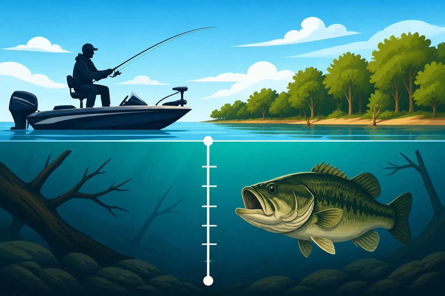
Let's cut to the chase: Lake Fork, on average, runs about 15 to 20 feet deep. This isn't incredibly deep when you compare it to some of the massive impoundments out there, but it's more than enough to create a complex and diverse underwater world. This average depth provides plenty of room for fish to roam, forage, and find refuge, and it's generally what most anglers encounter during a typical day on the water.
However, the "average" only tells part of the story. The maximum depth of Lake Fork can reach an impressive 70 feet, especially near the dam or in the old Sabine River channel. These deep pockets are often the unsung heroes of Lake Fork, providing crucial thermal refuges for fish during scorching Texas summers or bitter winter cold fronts. While most of your fishing might happen in shallower zones, knowing where these deep holes are can give you a significant advantage, particularly when conditions push fish to seek comfort in the abyss. It’s the difference between merely casting and truly understanding the lake's pulse.
Historical Context and Water Level Fluctuations
Lake Fork was impounded in 1980, created by damming the Sabine River and its tributaries. This means its depth profile is not uniform like a natural lake; instead, it's a fascinating blend of original river channels, creek beds, timber-filled lowlands, and old roads that once crisscrossed the landscape. The engineers designed it with structure in mind, making it the incredible fishery it is today.
One of the biggest factors influencing Lake Fork's actual depth at any given time is water level fluctuation. Like many Texas lakes, its levels can vary significantly throughout the year due to rainfall and drought cycles. A severe drought can drop the lake by many feet, exposing old roadbeds, stumps, and humps that were once prime fishing spots. Conversely, heavy rains can raise the lake, submerging new areas and pushing fish into freshly flooded cover. This constant change means that a spot you fished at 10 feet last year might be 5 feet or even 15 feet deep this year. This variability demands adaptability from anglers, making current lake level reports an essential tool in your arsenal. The Texas Parks and Wildlife Department (TPWD) often provides updates on lake levels, which can be invaluable when planning your trip.
Understanding Lake Fork's Depth Zones and How They Change
Lake Fork isn't just a big bowl of water; it's a mosaic of distinct depth zones, each offering unique opportunities and challenges. Understanding these zones is like having an insider's map to where the fish are hiding.
The Main Lake Channel and Tributary Arms
At the heart of Lake Fork's depth structure is the old Sabine River channel. This submerged channel, which once carried the Sabine River, now serves as a major thoroughfare for fish. It winds its way through the entire lake, creating the deepest troughs, sharpest drops, and most significant depth changes. For bass, especially, this channel acts as an underwater highway for migration between shallow feeding grounds and deeper holding areas. During extreme weather, fish often use the deeper parts of this channel as a refuge, seeking stable temperatures and oxygen levels.
Beyond the main Sabine channel, several major tributary arms feed into Lake Fork, such as Big Caney Creek and Little Caney Creek. Each of these also retains its original creek channel, although they are generally shallower than the main river channel. These smaller channels still provide distinct depth contours and act as secondary highways for fish movement within their respective arms. Learning to identify and follow these submerged channels, even when they're 30 feet below the surface, is a skill that will dramatically improve your fishing. Resources like detailed lake maps or online guides such as How to read lake contour maps for bass fishing can help you visualize these underwater features.
Brush Piles, Standing Timber, and Submerged Structures
What truly sets Lake Fork apart is its incredible amount of submerged structure. The lake was deliberately left with a significant amount of standing timber when it was impounded. These submerged trees, ranging from stumps in shallow water to full trunks rising from 30 feet of depth, are magnets for fish. Over the years, anglers and local groups have added countless brush piles, creating even more habitat. These structures exist at virtually every depth, providing cover and ambush points.
The depth of these structures is paramount to their utility. Shallow timber might hold active bass during the spring spawn or in low-light conditions, while deeper brush piles can be crucial during the summer, offering shade and cooler water. Beyond timber and brush, you'll find a labyrinth of other submerged features: old roadbeds that cut across creek channels, foundations of former homesteads, subtle humps, and prominent points that extend into the deeper water. Each of these structures creates a transition in depth or offers a current break, making them irresistible to various fish species. To truly find these hidden gems, especially in deeper water, investing in and knowing how to use modern electronics is essential. Articles like Best Fishing Electronics for Texas Anglers and How to use a fish finder for bass fishing can provide invaluable insights into maximizing your on-the-water technology.
Seasonal Changes in Water Levels and Their Impact
We've touched on water level fluctuations, but it's worth reiterating how dramatically these changes interact with Lake Fork's depth zones throughout the year, dictating fish behavior and, consequently, your fishing strategy.
- Spring: Often characterized by rising water levels due to spring rains. This pushes fish, especially bass, into newly flooded cover like terrestrial vegetation or shallow brush. Depths of 0-10 feet become prime real estate for the spawn and post-spawn feeding. This is when anglers often find fantastic opportunities fishing the banks and shallow flats, exploring Lake Fork Bass Fishing Hot Spots.
- Summer: As the Texas heat intensifies, surface water temperatures rise. If water levels also drop during dry spells, fish are often forced deeper. They seek the cooler, more oxygenated waters found in creek channels, around deep timber, or near the main lake points at depths of 15-30 feet, or even deeper. Understanding Texas Fishing Seasons Month by Month is key to adapting.
- Fall: As temperatures cool and shorter days arrive, water levels might stabilize or rise again. Fish become more active and start a major feeding spree in preparation for winter. They can be found in a wider range of depths, often transitioning between mid-depth structures and shallower feeding areas, following baitfish.
- Winter: Cold weather typically keeps water levels relatively stable or slightly lower. Fish generally move to deeper, more stable environments, such as the main river channel, deep humps, or dense brush piles in 20-50 feet of water. They become less active, requiring slower presentations.
This dynamic interaction between depth and season means that no two fishing trips to Lake Fork are exactly alike. Always be prepared to adjust your tactics based on the current conditions.
How Depth Influences Fishing Success on Lake Fork
Understanding Lake Fork's depths isn't just academic; it's the cornerstone of successful fishing. Every depth range offers unique challenges and rewards, and knowing how to approach each one is what separates the casual angler from the consistent producer.
Targeting Bass in Different Depth Ranges
Texas Largemouth Bass are masters of adapting to their environment, and their behavior is heavily influenced by depth.
- Shallow Water (0-10 feet): This is where much of the exciting surface action happens, particularly during the spawn, early mornings, or late evenings. Bass here are often relating to visible cover like shoreline vegetation, stumps, or shallow brush piles. Topwater lures, spinnerbaits, and weightless soft plastics like a Senko rigged wacky style are incredibly effective. You're looking for active fish that are either feeding or defending a nest. If you're focusing on spring, you'll want to check out Best lures for Lake Fork bass in spring for specific recommendations.
- Mid-Depth (10-25 feet): This range is often the most productive and versatile zone on Lake Fork. Bass will use submerged timber, humps, points, and creek channel edges within this depth. Here, you'll find success with deep-diving crankbaits that mimic shad, jigs worked slowly through cover, and Carolina rigs dragged along the bottom. This is a common depth for suspended fish during cooler periods or those staging before moving shallower. Techniques covered in How to Fish for Bass in Texas are highly applicable here.
- Deep Water (25+ feet): Don't overlook the deep. During the extreme heat of summer or the bitter cold of winter, bass often retreat to the deepest, most stable parts of the lake. They'll hug the main river channel, deep humps, or monster brush piles. This requires a different approach, often involving drop shots, heavy football jigs, large spoons, or vertical jigging techniques. These deep zones often hold the biggest, most lethargic fish that require patience and precise presentations. Targeting these deep lunkers is a prime strategy for trophy anglers looking for those legendary Texas Largemouth Bass Length Limits fish.
Crappie and Catfish: Finding Them in Deeper Waters
While Lake Fork is renowned for its bass, it's also a phenomenal fishery for crappie and catfish, both of which often relate to specific depths.
- Crappie: Outside of their shallow spawning ritual in spring, crappie are notorious for schooling up around deep brush piles, bridge pilings, and standing timber, often in depths ranging from 15 to 30 feet. They love structure and will hold tightly to it. Anglers targeting crappie often use live minnows or small jigs, vertically fishing directly over or into these submerged brush piles. Identifying these submerged forests with your electronics is absolutely critical for crappie success.
- Catfish: Lake Fork offers fantastic opportunities for blue, channel, and flathead catfish. These bottom-dwelling giants often inhabit the deeper channels, holes, and creek bends, especially during the warmer months when they seek cooler water. You can find them anywhere from 20 to 40 feet deep, relating to submerged structure, current breaks along the old river channel, or even suspended over deep water if baitfish are present. Cut bait, punch bait, or live perch are popular choices, fished on the bottom with heavy weights. For trophy flatheads, live bait near deep timber is often the ticket.
Gear and Techniques for Varying Depths
Matching your gear and technique to the depth you're fishing is paramount. Using a lightweight spinning rod to pull a deep-diving crankbait out of 20 feet of timber is an exercise in futility.
- Shallow: For depths up to 10 feet, lighter spinning gear or medium-action baitcasting rods are often sufficient. Line weights of 10-15 lb fluorocarbon or monofilament are common. Accuracy is often more important than brute strength, especially when skipping lures under docks or around tight cover.
- Mid-Depth: This versatile range often calls for medium-heavy to heavy action baitcasting rods. You'll need the backbone to set hooks and pull fish away from submerged timber or heavy brush. Line weights of 15-20 lb fluorocarbon or even braided line with a fluorocarbon leader are standard. This setup allows for handling a variety of lures, from crankbaits to heavier jigs and Carolina rigs.
- Deep: When you're fishing 25 feet or deeper, sensitivity and power become critical. Heavy-action rods with fast tips are ideal for detecting subtle bites and moving large amounts of lead. Braided line (30-50 lb) is a favorite for its no-stretch properties, allowing you to feel every bump and tick on the bottom, often paired with a fluorocarbon leader. Specialized electronics are also a must; you might even consider booking a trip with a guide through a service like FishingBooker to learn their deep-water techniques firsthand.
Navigating Lake Fork: Depth Challenges and Safety
Lake Fork is an incredible fishery, but its unique depth characteristics also present specific navigational challenges. Safety should always be your top priority.
Hazards of Shallow and Deep Water Areas
Lake Fork's legend is built on its structure, but that structure can also be a boater's nightmare if you're not careful. The lake is infamous for its abundant stumps, submerged islands, and shallow humps, many of which lie just beneath the surface, especially when water levels are low. Running aground on one of these unseen hazards can damage your boat, propeller, or even cause serious injury. Always exercise extreme caution, especially when venturing into unfamiliar areas or moving at high speeds.
Conversely, deep water areas, while less of a physical hazard for your boat (unless you're anchoring improperly in swift currents), can pose challenges for inexperienced anglers. Successfully fishing these deep zones requires a thorough understanding of electronics and fish behavior, and without it, you might spend a lot of time fishing unproductive water. The sheer expanse of deep water can also be disorienting for those not accustomed to navigating large reservoirs. This is where local knowledge and prior preparation truly shine.
Utilizing Sonar and GPS for Safe Navigation
On Lake Fork, a reliable fish finder with good sonar capabilities and a detailed GPS mapping system is not a luxury; it's a necessity. Modern fish finders equipped with down-imaging and side-imaging can reveal the underwater world in stunning detail, showing you not just fish, but also hidden stumps, brush piles, old roadbeds, and the contours of creek channels. This visual information is crucial for both finding fish and avoiding hazards.
Coupled with sonar, a robust GPS unit with high-definition contour maps is essential. These maps, often from providers like Navionics or LakeMaster, graphically display depth changes, submerged structures, and critical navigational markers. You can use your GPS to plot safe routes, mark productive fishing spots (or potential hazards), and ensure you stay within desirable depths. Learning to interpret these readings effectively, as discussed in How to use a fish finder for bass fishing, will keep you safe and put more fish in your boat.
Tips for Boating and Kayaking Safely
Whether you're in a high-powered bass boat or a nimble fishing kayak, safety on Lake Fork is paramount.
- For Boaters:
- Consult Updated Maps: Always have the most current lake maps available. Many boat electronics integrate these directly, but a physical map can also be a lifesaver.
- Idle Through Unfamiliar Areas: If you're unsure about the depth, slow down to an idle. It's better to take a few extra minutes than to hit a submerged hazard.
- Pay Attention to Buoys and Markers: While these mark some channels and hazards, they don't mark every single stump on Lake Fork. Don't rely solely on them.
- Monitor Lake Levels: Check current lake levels before you go. A low lake means more hazards exposed or just below the surface.
- Consider a Jack Plate: Many bass boats have hydraulic jack plates, allowing you to raise your engine for navigating shallower areas, which can be invaluable on Fork.
- Safety Gear: Always ensure you have all required safety equipment, including life jackets for all passengers (and children under 13 required to wear them while underway), a fire extinguisher, and a sounding device. Be aware of all Texas Boat Registration Requirements and other regulations.
- FishingBooker Guides: If it's your first time, or you just want to learn the ropes from a pro, consider hiring a local guide through a platform like FishingBooker. They know the lake's depths and hazards like the back of their hand.
- For Kayakers:
- Stump Awareness: While kayaks can go into shallower water, don't assume you're immune to stumps. They can still capsize a kayak.
- Float Plan: Always let someone know where you're going and when you expect to return.
- Check Weather: Texas weather can change rapidly. High winds can make kayaking on open water dangerous.
Remember, Lake Fork is a wild and wonderful place. Respect its depths, plan your trips, and stay safe so you can enjoy many years of phenomenal fishing.
| Depth Range | Primary Fish Target(s) | Typical Lures/Techniques | Key Considerations |
|---|---|---|---|
| 0-10 feet | Largemouth Bass, Crappie | Topwater, Spinnerbaits, Wacky Rigs, Jigs | Spring spawn, early/late day, visible cover. Beware of stumps. |
| 10-25 feet | Largemouth Bass, Crappie, Catfish | Crankbaits, Jigs, Carolina Rigs, Senkos | Submerged timber, humps, creek channels. Most versatile. |
| 25-40 feet | Largemouth Bass, Catfish, Crappie | Football Jigs, Drop Shots, Spoons, Cut Bait | Thermocline, main lake points, deep brush piles. Summer/Winter. |
| 40+ feet | Catfish, Suspended Bass | Vertical Jigging, Heavy Spoons, Live Bait | Main river channel, dam area. Extreme conditions. Requires good electronics. |
Disclaimer
The information provided in this guide is for general informational purposes only and is subject to change. Always consult the latest regulations from the Texas Parks and Wildlife Department and exercise caution and good judgment when on the water. Fishing conditions, lake levels, and fish behavior can vary.